
Jalori Pass & Serolsar Lake Trek Guide
Everything you need for the Jalori Pass and Serolsar Lake day from Jibhi: getting to the pass, the roughly 5 km forest trail, how long it takes, water, toilets, weather, safety and the Raghupur Fort option.
By The Rustic Team · Published · Updated
Why this is the signature Jibhi day
If you only have one full day around Jibhi, this is the one most guests choose. You drive up to Jalori Pass, at around 3,100–3,200 metres (sources disagree on the exact figure), then walk a forest trail to Serolsar Lake, a small sacred lake with the Budhi Nagin temple on its bank. It is a proper mountain day without needing camping gear, a permit or a guide.
The walk itself is not hard, but the day has more moving parts than people expect: a steep, narrow road, weather that changes fast at altitude, no reliable water on the trail and very few toilets. This guide covers all of it, so you can plan around the things that actually go wrong.
Quick facts
Start point: Jalori Pass, on the road from Jibhi via Shoja towards Ani.
Distance: roughly 5 km one way to the lake (some sources say 5–6 km), so about 10–12 km return on the same trail.
Time: most people take 1.5–2 hours each way at a relaxed pace. Allow 4–5 hours at the pass in total once you add a break at the lake.
Difficulty: easy to moderate. The trail undulates with a few short climbs, but there is no big sustained ascent. The main challenge is the altitude if you have come straight up from the plains.
Lake altitude: around 3,050–3,100 metres, depending on the source.
Best months: usually April to June and September to November. The pass is generally closed by snow for part of winter.
Getting from Jibhi to Jalori Pass
The pass is roughly 12–15 km from Jibhi by road, climbing through Shoja. In a taxi it usually takes 45 minutes to an hour, depending on traffic and how the road is that week. Shoja is about 5 km below the pass, so it is the natural place for a coffee stop on the way up or down.
The road is the part to take seriously. It is narrow, steep and full of hairpins, with long single-lane sections where one vehicle has to reverse to let another pass. Parts of the upper stretch have historically been rough or broken, and conditions change every year with landslides and repair work. If you are driving yourself, read our self-drive guide first; a small car with good brakes and a confident driver in low gear is far better than a big SUV and a nervous one.
Most guests take a local taxi on a round-trip basis, with the driver waiting at the pass while you walk. Agree the waiting time and total fare before you set off. We can put you in touch with drivers we know and help you share a taxi with other guests heading up the same morning, which brings the cost down a lot. Local buses on the Aut–Ani route also cross the pass when it is open, but timings are irregular and change with the season, so ask at the desk or at the bus stand the evening before rather than relying on any timetable you find online.
Fares and bus timings last checked in October 2026; they change with season and fuel prices, so confirm with the driver (or HRTC) before you travel.
Road closures, snow and the season
Snow usually closes the pass to vehicles for part of the winter, typically from somewhere around mid to late December until March or April. The exact dates move every year, and a heavy spell can shut it for days or weeks at other times too. In the monsoon (roughly July to mid-September), landslides can block the road below the pass for hours or longer.
Spring (April to June) brings rhododendron and clear mornings, though there can still be old snow in shaded parts of the trail in April. Autumn (late September to November) is usually the clearest, with the best views of the higher ranges, and colder mornings. Monsoon walks are green and atmospheric but the trail turns muddy and slippery, and views are often lost in cloud. For a month-by-month picture, see our guide to the best time to visit Jibhi, and for snow-season plans read winter in Jibhi and Shoja.
Whatever the month, ask locally on the morning you go. Drivers and dhaba owners know within an hour or two whether the pass is open, and that information is more reliable than anything online.
The trail to Serolsar Lake
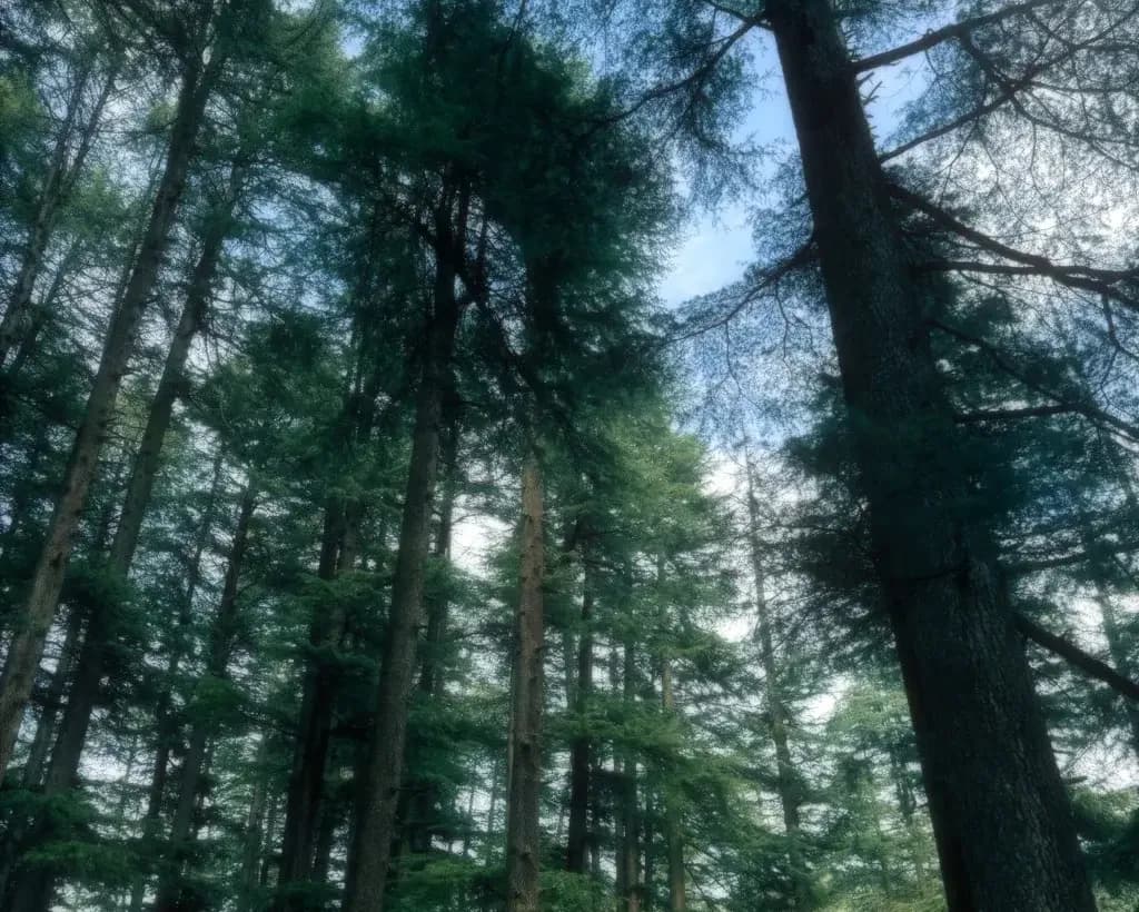
The trail starts at the pass itself, near the small cluster of dhabas and the Mahakali temple. It heads east, away from the road, and is easy to follow in season: a wide, well-trodden path that runs along the ridge and then drops into old oak forest, with moss on the trunks and occasional clearings that open out over the valleys on either side.
There is no long climb. Expect gentle ups and downs, a few short steeper bits and some rocky or rooty sections that get slippery after rain. In spring and autumn there may be a small tea stall or two along the route, but they are seasonal and you should not count on them.
The lake is small and still, ringed by trees, with the Budhi Nagin temple beside it. Local tradition holds Budhi Nagin as the guardian goddess of the lake, and devotees make offerings here. You will often see a few pilgrims alongside the walkers. Spend some time, have your snacks away from the water's edge and then return the same way. The walk back feels quicker because you know what to expect.
Temple and lake etiquette
Serolsar is a living sacred site, not a photo prop. Do not swim, wash or throw anything into the lake, including coins. Take your shoes off where locals do and follow any signs or requests from the temple caretakers. Keep your voice and music down, and skip the drone unless you have checked that it is acceptable. Dress as you would for any temple visit: shoulders and knees covered is the safe default.
Carry every wrapper and bottle back to the pass with you. There is no waste collection on the trail, and litter left here stays for years.
Water, food and toilets
Carry your own drinking water, at least 1.5–2 litres per person. There is no reliable drinking water on the trail, and you should not drink from the lake.
The dhabas at the pass serve tea, Maggi and simple meals in season, and they are the last dependable food stop. Carry snacks for the trail as well: fruit, nuts, biscuits or a packed sandwich from the café.
Toilets are the part nobody mentions. There are no proper toilets on the trail or at the lake. Use whatever basic facilities are available at the dhabas or the pass before you set off (ask politely, and buy tea), and carry tissues and a small bag to take used paper back out. If you have to go on the trail, move well away from the path and the lake.
Weather and safety
The pass is usually 10 °C or more colder than Jibhi, and wind makes it feel colder still. Mornings are generally the clearest time; cloud often builds by early afternoon, and in the monsoon and spring it can rain or hail with little warning. Start early, aim to be at the pass by 9 or 10 am, and plan to be back at the pass by mid-afternoon so you are not driving the hairpins in the dark.
Mobile coverage is patchy at the pass and weaker on the trail, so tell someone at the hostel your plan and expected return time before you leave. Walk in a group if you can, and do not go alone in the off-season or after fresh snow, when the trail is quiet and harder to follow. If you get a headache, nausea or unusual breathlessness, rest, drink water and head back down; altitude affects people unpredictably at this height, especially on the first day after arriving from the plains.
Stay on the main trail. Side paths can look tempting in fog but lead into steep forest. Watch your footing on wet roots and rock, and give way to livestock and local people carrying loads.
What to pack
Shoes with good grip matter more than anything else. Trekking shoes or trail runners are ideal; smooth-soled sneakers are a bad idea after rain or in snow.
Bring a warm layer (fleece or light down) and a windproof or waterproof jacket even if Jibhi feels warm, plus a cap or beanie, sunglasses and sunscreen, because the sun is strong at this altitude.
In your daypack: water, snacks, tissues and a rubbish bag, a small first-aid kit with any personal medication, a power bank and some cash for the dhabas and taxi (digital payments do not always work up there). In shoulder seasons or after snow, gloves and a spare pair of socks earn their space.
The Raghupur Fort option
On the other side of the pass from the Serolsar trail, a second path climbs to the ruins of Raghupur Fort. It is roughly 3 km from the pass and noticeably steeper, with most people taking about 1.5–2 hours up and around an hour down. The fort itself is little more than old walls in a high meadow, but the views over the surrounding ranges on a clear day are some of the widest in the area.
Doing both Serolsar and Raghupur in one day is possible for fit walkers who start very early, but it makes for a long day. Most people choose one: Serolsar for forest, the lake and an easier walk, Raghupur for a steeper climb and big views.
Making a day of it
A simple plan that works for most guests: leave Jibhi around 7:30–8 am after a quick breakfast, walk to the lake and back by early afternoon, have lunch at the pass or stop at The Rustic Café Shoja on the way down for coffee and food with forest views, and be back in Jibhi by late afternoon. If you have more time in the area, our things to do in Shoja guide has more ideas for that stretch of road.
Plenty of guests use the 3-day Jibhi itinerary and slot Jalori into the clearest-looking day. If you want company, ask at the desk the evening before: we help guests form trek groups and share taxis, and on most evenings there is live music or a movie in the café where plans for the next morning tend to come together.
Comparing places to stay? See our guide to hostels in Jibhi or the rooms and prices at The Rustic Jibhi.
Questions people ask
How long is the Serolsar Lake trek from Jalori Pass?
It is roughly 5 km one way, so about 10–12 km return on the same trail. Most people take 1.5–2 hours each way and spend 4–5 hours in total including a break at the lake.
Is the Serolsar Lake trek suitable for beginners?
Generally, it is. The trail is easy to moderate with gentle ups and downs and no long climb. The main things to respect are the altitude, slippery sections after rain and changeable weather, so start early, wear shoes with good grip and carry water.
Is Jalori Pass open in winter?
Usually not for the whole winter. Snow typically closes the road to vehicles from around mid to late December until March or April, though the dates change every year and heavy snow can close it at other times. Ask locally on the morning you plan to go.
Are there toilets or water on the trail?
There are no proper toilets or reliable drinking water on the trail or at the lake. Use the basic facilities at the dhabas on the pass before you start, carry 1.5–2 litres of water per person and take all waste back with you.
Can I combine Serolsar Lake and Raghupur Fort in one day?
Fit walkers who start very early can do both, but it makes for a long day. Raghupur Fort is roughly 3 km from the pass on a steeper trail, usually 1.5–2 hours up. Most people pick one.

Written by The Rustic Team
The people who run The Rustic Jibhi and The Rustic Café Shoja. Between us we’ve lived in Tirthan Valley for years: we sort out taxis from Aut, plan treks to Jalori and Serolsar most weeks, and check these guides against what we see on the ground. Read our story.